
A Comprehensive Overview of Subsurface Investigation Techniques in UAE


Introduction to Subsurface Investigation
Subsurface investigation is a critical component of construction and development projects in the UAE. Understanding the underground conditions is essential for ensuring the safety, stability, and success of any building project. This overview explores the various techniques used in subsurface investigations, highlighting their importance and applications in the region.
Importance of Subsurface Investigation
The unique geotechnical environment of the UAE, characterized by its arid climate and sandy soil, necessitates thorough subsurface investigation. Proper analysis helps in identifying potential challenges such as soil instability, groundwater presence, and other geological features that could impact construction.
Risk Mitigation
By conducting detailed subsurface investigations, project planners can identify risks early and implement strategies to mitigate them. This proactive approach reduces the likelihood of costly delays and structural failures.
Common Techniques Used
Several techniques are employed for subsurface investigation in the UAE, each with specific advantages. These methods help in gathering detailed information about soil composition, rock layers, and groundwater levels.
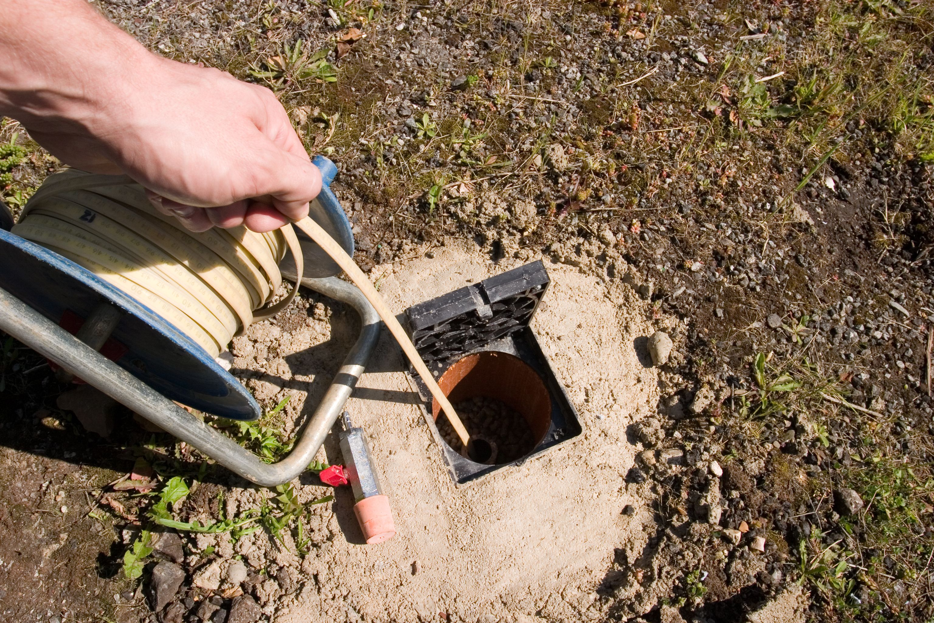
Drilling and Sampling
Drilling is one of the most direct methods for subsurface investigation, allowing for the collection of soil and rock samples from various depths. These samples are analyzed in laboratories to determine their properties, providing valuable insights into the subsurface conditions.

Geophysical Methods
Geophysical techniques, such as seismic reflection and ground-penetrating radar, are non-invasive methods that provide a comprehensive view of the subsurface. These methods are particularly useful for identifying variations in soil and rock properties without the need for extensive drilling.
Advanced Technologies
In recent years, the UAE has seen the adoption of advanced technologies in subsurface investigations. These innovations offer more precise data and reduce the time required for analysis.
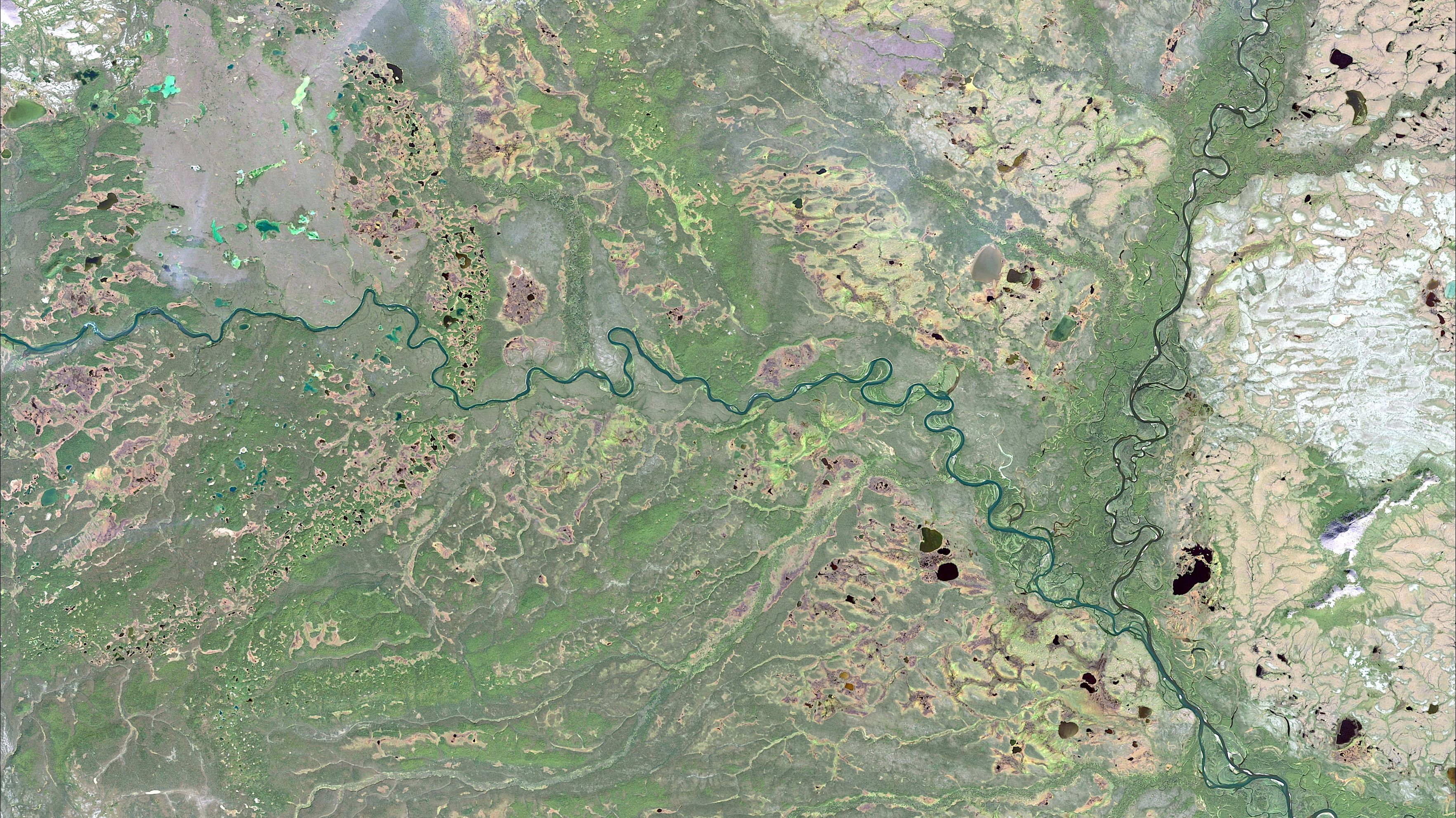
Remote Sensing
Remote sensing technology, including satellite imagery and aerial surveys, provides a broad overview of the terrain, helping in the initial stages of investigation. This data can be used to guide more targeted subsurface examination efforts.
3D Modeling
3D geological modeling is becoming increasingly popular, allowing engineers and planners to visualize subsurface conditions in a detailed and interactive manner. This visualization aids in better decision-making and planning.
Conclusion
Subsurface investigation is an indispensable part of construction in the UAE, given the region's unique geological conditions. By employing a combination of traditional and advanced techniques, engineers can ensure that projects are not only feasible but also safe and sustainable. Continued innovation in this field promises to further enhance the precision and effectiveness of these investigations.